File:! Floriana Lines 03.jpg
Original file (2,592 × 1,936 pixels, file size: 1.51 MB, MIME type: image/jpeg)
Captions
Summary[edit]
Description! Floriana Lines 03.jpg |
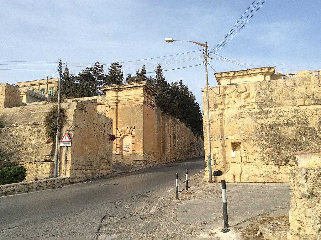
English: Floriana Lines
|
||
Date | |||
Source | Own work | ||
Author | Continentaleurope |
Camera location | 35° 53′ 35.19″ N, 14° 30′ 02.6″ E | View this and other nearby images on: OpenStreetMap - Google Earth | 35.893108; 14.500722 |
---|
Licensing[edit]
|
This file is licensed under the Creative Commons Attribution-Share Alike 4.0 International license. | |
https://creativecommons.org/licenses/by-sa/4.0 CC BY-SA 4.0 Creative Commons Attribution-Share Alike 4.0 truetrue |
This image was uploaded as part of Wiki Loves Monuments 2017.
Afrikaans | Alemannisch | العربية | جازايرية | azərbaycanca | Bikol Central | беларуская | беларуская (тарашкевіца) | български | বাংলা | brezhoneg | català | čeština | Cymraeg | dansk | Deutsch | Zazaki | Ελληνικά | English | Esperanto | español | eesti | euskara | فارسی | suomi | français | Frysk | Gaeilge | galego | עברית | हिन्दी | hrvatski | magyar | հայերեն | Bahasa Indonesia | Ido | italiano | 日本語 | ქართული | 한국어 | Кыргызча | Lëtzebuergesch | latviešu | Malagasy | македонски | മലയാളം | Bahasa Melayu | Malti | norsk bokmål | नेपाली | Nederlands | norsk nynorsk | norsk | polski | português | português do Brasil | română | русский | sicilianu | davvisámegiella | slovenčina | slovenščina | shqip | српски / srpski | svenska | ไทย | Tagalog | Türkçe | українська | اردو | 中文 | 中文(中国大陆) | 中文(简体) | 中文(繁體) | 中文(香港) | 中文(台灣) | +/− |
File history
Click on a date/time to view the file as it appeared at that time.
Date/Time | Thumbnail | Dimensions | User | Comment | |
---|---|---|---|---|---|
current | 22:22, 24 September 2017 | 2,592 × 1,936 (1.51 MB) | Continentaleurope (talk | contribs) | User created page with UploadWizard |
You cannot overwrite this file.
File usage on Commons
There are no pages that use this file.
File usage on other wikis
The following other wikis use this file:
- Usage on en.wikipedia.org
Metadata
This file contains additional information such as Exif metadata which may have been added by the digital camera, scanner, or software program used to create or digitize it. If the file has been modified from its original state, some details such as the timestamp may not fully reflect those of the original file. The timestamp is only as accurate as the clock in the camera, and it may be completely wrong.
Camera manufacturer | Apple |
---|---|
Camera model | iPad Air |
Exposure time | 1/1,021 sec (0.0009794319294809) |
F-number | f/2.4 |
ISO speed rating | 32 |
Date and time of data generation | 18:05, 19 April 2016 |
Lens focal length | 3.3 mm |
Orientation | Normal |
Horizontal resolution | 72 dpi |
Vertical resolution | 72 dpi |
Software used | 9.3.1 |
File change date and time | 18:05, 19 April 2016 |
Y and C positioning | Centered |
Exposure Program | Normal program |
Exif version | 2.21 |
Date and time of digitizing | 18:05, 19 April 2016 |
Meaning of each component |
|
APEX shutter speed | 9.9964028776978 |
APEX aperture | 2.5260688216893 |
APEX brightness | 10.01983663944 |
APEX exposure bias | 0 |
Metering mode | Pattern |
Flash | Flash did not fire, No flash function |
DateTimeOriginal subseconds | 953 |
DateTimeDigitized subseconds | 953 |
Supported Flashpix version | 0,100 |
Color space | sRGB |
Sensing method | One-chip color area sensor |
Scene type | A directly photographed image |
Exposure mode | Auto exposure |
White balance | Auto white balance |
Focal length in 35 mm film | 32 mm |
Scene capture type | Standard |
Latitude | 35° 53′ 35.19″ N |
Longitude | 14° 30′ 2.6″ E |
Altitude | 41.433 meters above sea level |
GPS time (atomic clock) | 16:05 |
Speed unit | Kilometers per hour |
Speed of GPS receiver | 0 |
Reference for direction of image | True direction |
Direction of image | 37.553956834532 |
Reference for bearing of destination | True direction |
Bearing of destination | 37.553956834532 |
GPS date | 19 April 2016 |
Structured data
Items portrayed in this file
depicts
no value
creator
Some value without a Wikidata item
copyright status
copyrighted
copyright license
Creative Commons Attribution-ShareAlike 4.0 International
source of file
original creation by uploader
inception
19 April 2016
coordinates of the point of view
35°53'35.189"N, 14°30'2.599"E
- Cultural heritage monuments in Malta with known IDs
- Pages with local coordinates and matching SDC coordinates
- Media with locations
- CC-BY-SA-4.0
- Self-published work
- Images from Wiki Loves Monuments 2017
- Images from Wiki Loves Monuments 2017 in Malta
- Uploaded via Campaign:wlm-mt
- Taken with iPad Air
- Pages with maps